*** More Severe Storms Aiming for the Northern Plains Monday Afternoon! ***

Another strong upper level disturbance is rotating through the Rockies. It will encounter unstable air over the High Plains, sparking severe storm development. Tornadoes, huge hail, and high winds will all be threats!
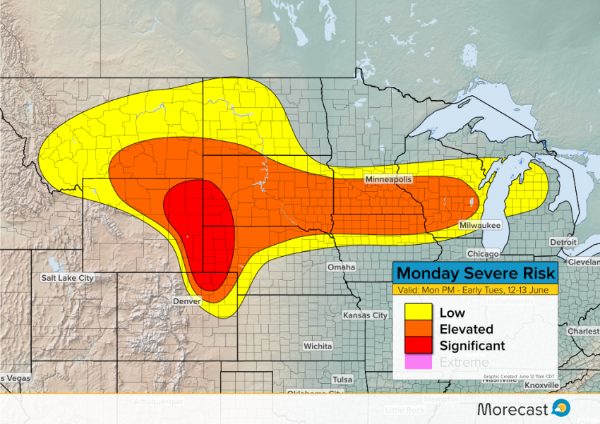
The highest risk will be from eastern Wyoming into western South Dakota and Nebraska and far northeast Colorado. Supercells will fire across this region by around 2 pm CDT (1 pm MDT) and move quickly northeast. These individual storms could merge into one or more squall lines with destructive winds becoming more common into this evening.

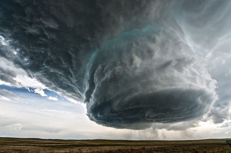
We’ll keep you up-to-date with radar trends, reports, and pictures through this afternoon and tonight. Use morecast.com and our Facebook and Twitter feeds for the latest! Lead photo courtesy wikipedia contributor Topazwoolenwick.
