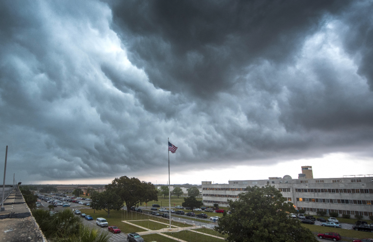
Severe Storms to Rage Across the Upper Midwest : Wednesday, July 19th
Upper-level winds are becoming favorable for storm development over the Northern Plains. Plenty of heat energy is available for severe weather. The models are indicating that a squall line will roll through the Minneapolis-St. Paul metro by mid-evening.
Breakdown
Temperatures have been sizzling over the Plains and Midwest over the past few days. More dangerous heat is expected today, priming the atmosphere for severe weather. Meanwhile, an upper-level disturbance will move across the Northern Plains.
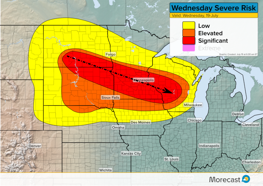
Storms will develop in the Dakotas this morning. More organized severe storms are likely as instability builds into the afternoon. There are some timing differences but most models are projecting a squall line will move across portions of the Plains and Upper Midwest later this afternoon into tonight.
This squall line will primarily be a threat for destructive winds gusting upwards of 80 mph in spots. Large hail to two inches in diameter and isolated tornadoes could also be a concern early on in the event.
We’ll monitor conditions and send out updates as needed to our Twitter and Facebook feeds. Be prepared to take the necessary safety measures if a tornado or severe storm warning is issued for your area!
