“Fire Volcano” Eruption Continues to Impact Guatemala
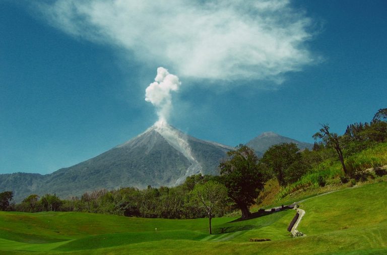
The Guatemalan volcano known as “Volcán de Fuego” erupted Sunday morning sending rocks, ash, and volcanic gases high into the sky.
The eruption occurred about 25 miles (40 km) from Guatemala’s capital city and was detectable on NASA’s GOES-East satellite.
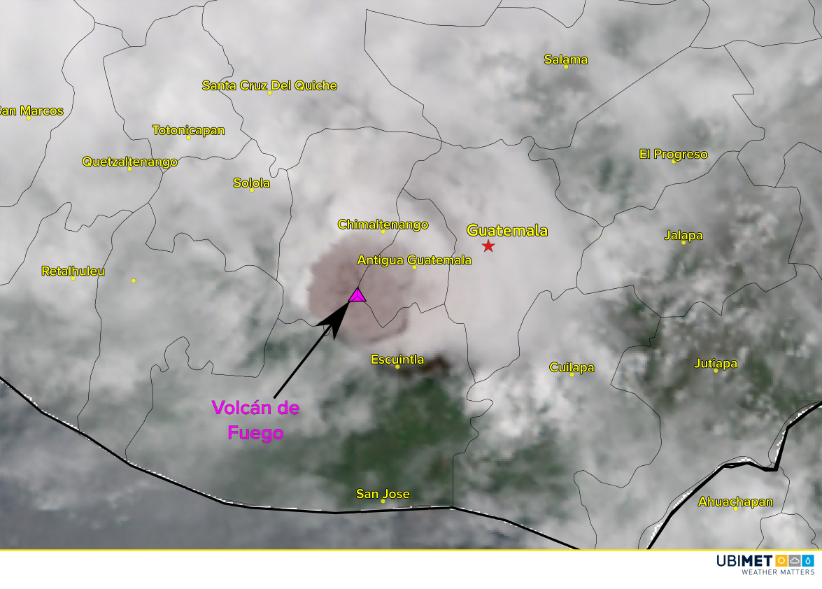
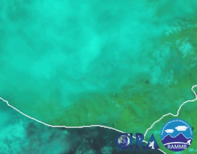
A satellite loop from the region clearly detects the eruption. Notice that a pink-looking dot becomes visible just prior to the dark ash plume.
Impacts
The village of San Miguel, which sits 6 miles (10 km) from the volcano, was hit especially hard with many buildings damaged or destroyed.
What makes volcanoes particularly dangerous are pyroclastic flows. These dangerous flows are a mix of hot rocks and volcanic gases that flow down a mountain at highway speeds, according to the Global Volcanism Program (GVP). Pyroclastic flow rates of up to 45 mph (20 m/s) have been observed in the past.
Pyroclatsic flows are not like lava. PFs are rapid avalanches of hot gas & rock ranging from ash-sized (like sand) to boulders, + anything they pick up (like trees & cars). PFs are devastating & deadly. https://t.co/gQEOshkN8m
— Dr Janine Krippner (@janinekrippner) June 4, 2018
Tweets
Take a lot at the next few tweets depicting impacts and footage from the Fire Volcano.
Drone captures destruction caused by Fuego eruption in #Guatemala pic.twitter.com/Zbj27sb7OE
— Ruptly (@Ruptly) June 4, 2018
Nuevo video. Nos comparten la brutal erupción de ayer del Volcán de Fuego. Como sacada de una película de terror.. @chematierra @janinekrippner @rudigerescobar pic.twitter.com/xlCv5sPrSj
— Clima Guatemala (@ClimaenGuate) June 4, 2018
@RTultimahora #Guatemala #volcandefuego pic.twitter.com/7h6a0KX8Iy
— Entropía (@Sunlight_lovee) June 3, 2018
