UPDATE: Lane Still a Major Hurricane As it Approaches Hawaii!

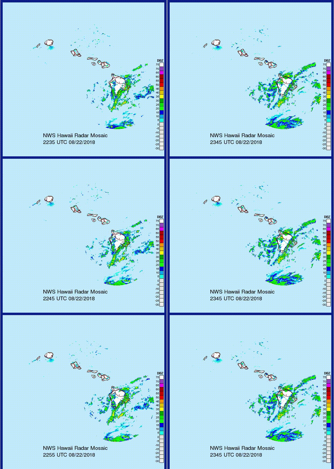
Hurricane Lane remains a powerful category four storm with sustained winds up to 150 mph (240 kph). Lane briefly reached category five status this morning, but has since weakened a bit. However, the storm remains a major threat to the Hawaiian Islands in the next several days. Outer rain bands are already moving over the Big Island:

Lane had been moving west-northwestward for the past few days but has begun to turn more northwesterly. The cyclone will move generally north-northwest on Thursday before a gradual turn to the west on Friday. Where and when this turn occurs will determine whether the islands get a direct hit or a significant but glancing blow. The latest model guidance indicates the turn will occur soon enough to avoid a direct landfall. However, a slim possibility still exists for a northward track that would bring more severe impacts.

Lane has probably peaked in intensity. The circulation will be moving over cooler waters in the next few days, causing further gradual weakening. The storm will pass close enough to spell some significant impacts for the Hawaiian Islands, though. The south and west sides of the islands are in for the worst weather. Likely hazards include:
- Torrential, flooding rainfall and mudslides. Widespread amounts of 6-12 inches (150-300 mm), locally 24 inches (600 mm) on the south-facing mountain slopes.
- Damaging wind gusts. Up to 70-80 mph (110-130 kph) in spots along the coast leading to trees down and long-lasting power outages. Major cities like Honolulu and Hilo likely to see gusts 50-60 mph (80-100 kph). A few tornadoes could produce locally enhanced winds as well.
- Storm surge locally as much as 3-4 feet in prone locations.
