Rare Snowfall for Desert Southwest, Including Sin City
An unusually cold air mass has been anchored across much of the western U.S. in recent weeks. A series of significant troughs has been rotating through, pushing Pacific moisture into the cold air. The result has been snow falling on areas unaccustomed to seeing flakes fly. Some particularly beautiful scenes have been captured in the bright lights of Las Vegas over the past week.
They say what happens when hell freezes over? @Vegas is #SinCity, right? #whenhellfreezes #snowday #SnowingInVegas pic.twitter.com/ododREJQ92
— Joe ®️ (@ThatGuyPerl) February 22, 2019
The Las Vegas Strip is looking a little different tonight 🌨️❄️☃️ #VegasSnow #LasVegas pic.twitter.com/JiZSvQ9gQR
— Ramiro Cabrera (@PhotogRamiro) February 21, 2019
#LVSnowDay: Roads near Desert Foothills Dr. & Charleston Blvd. Roadways now covered, please drive carefully and stay with us on @FOX5Vegas all morning! #snow #vegas #summerlin pic.twitter.com/9CWN610RL8
— Dylan Kendrick (@dylankendricktv) February 21, 2019
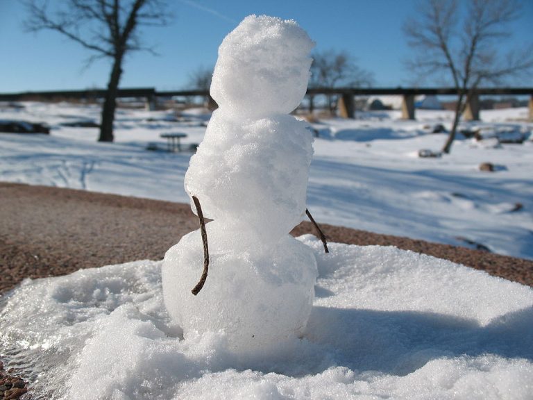
The first shot of accumulating snow came through Vegas on Sunday evening. A dusting fell on most of downtown, but western suburbs saw 1-2 inches of wet accumulation. A much larger, stronger trough has come in for the late week, producing off-and-on snow from late Wednesday well into Thursday. Slushy accumulations of 0.5-1 inch were tallied for parts of the Vegas downtown, enough for residents to build some tiny snowmen for the first time in their lives! McCarran International Airport reported 0.8 inch of snow for the day, the most in more than a decade. Western and southern suburbs fringing on the mountains saw accumulations of several inches. It was enough to prompt for officials to call a rare snow day for Clark County schoolchildren.
No need to panic Los Angeles — the LAPD is on snow watch. Plus, one flurry of #LASnow doesn’t equal “Snowmaggedon” pic.twitter.com/3uDUkSzWDD
— LAPD HQ (@LAPDHQ) February 21, 2019
Other areas of the Southwest have seen unusual snow amounts as well. Chilly temperatures in the L.A. Basin led to reports of wet snow flurries in Malibu, Pasadena, and Calabasas. Interstates running through the mountains ringing Los Angeles were closed due to heavy snow and icy conditions. Kingman, Arizona, a city more commonly known for withering summertime heat, reported 12-18 inches of heavy snow. And Flagstaff set a new daily record for snow accumulation on Thursday, up to 33 inches and counting as of Thursday evening. The storm system responsible for the desert snows will eventually emerge into the Plains with a threat for blizzard conditions and severe storms this weekend. Lead photo courtesy Wikipedia contributor Jake DeGroot.
