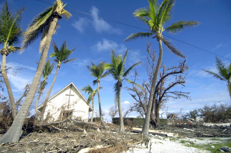
Hurricane Douglas Rolling Towards the Hawaiian Islands!

Category One Hurricane Douglas continues on a steady west-northwest course over the open Pacific. The storm is now within a few hundred miles of the Hawaiian Island. Douglas will skirt the northern sides of the Islands early next week, bringing damaging winds, flooding rainfall, and a significant storm surge.
Hurricane Douglas on its approach to Hawaii. pic.twitter.com/S3o40Rtihx
— Dakota Smith (@weatherdak) July 26, 2020
Douglas was moving through a very favorable environment of warm ocean waters and light shear earlier this week. The cyclone reached a peak intensity of Category Four on the Saffir-Simpson scale on Thursday. Since then, Douglas has been gradually weakening, and additional weakening will occur as the storm moves over progressively cooler waters. However, Douglas is still expected to be a hurricane as it nears Hawaii. The island of Oahu could see the worst impacts and a hurricane warning is in effect there. Winds of 70-80 mph (kph) will threaten Oahu later on Sunday into early Monday. Heavy rains up to 10 inches (125-250 mm) in spots along with a dangerous storm surge up to 3-4 feet (1-1.3 m) will affect northern portions of Oahu and nearby islands. Douglas will continue to affect the western islands as a weakening tropical storm later Monday into Tuesday. Lead photo courtesy Sgt Shane Cuomo, USAF.
