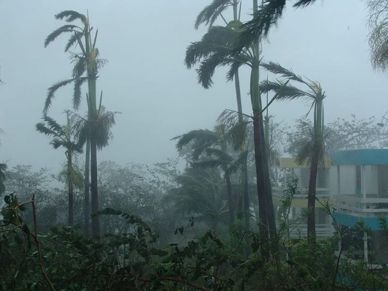
Another Monster Hurricane Has Central America In Its Sights!

Hurricane Iota is bearing down on the east coast of Nicaragua with landfall expected Monday night. Iota is a lethal Category Five hurricane with sustained winds to 160 mph (260 kph), the strongest hurricane of this busy 2020 season. It’s also the latest-forming Category Five ever in the Atlantic basin. Iota, like Hurricane Eta less than two weeks ago, has rapidly intensified over the unusually warm waters of the southern Caribbean. In fact, Iota’s intensification is among the five fastest on record. Unfortunately, the resulting storm is even stronger than Eta was on virtually the same trajectory.
Category 5 Hurricane #Iota is getting closer to Nicaragua. Hurricane-force winds should begin in a few hours, with landfall expected this evening. This is a life-threatening situation and please heed the advice of local officials. More on Iota at https://t.co/tW4KeFW0gB pic.twitter.com/8LRbA5illL
— National Hurricane Center (@NHC_Atlantic) November 16, 2020
The intersection of Eta’s history and Iota’s forecast path is just heartbreaking.
Again, we are talking about two major hurricanes sweeping Nicaragua within two weeks of each other.
This is not normal. pic.twitter.com/cx9ci43DnW— Ryan Phillips – NBC6 (@RyanNBC6) November 16, 2020
One difference between the two storms is that Eta slowed to a crawl as it approached the Nicaraguan coast. That meant a prolonged period of torrential tropical rainbands lashing the region, leading to massive flooding. Rainfall amounts likely exceeded three feet (915 mm) in some mountainous areas. Hundreds of thousands were forced to evacuate homes threatened by raging rivers and landslides. Many of these people remain homeless weeks later, forced to take shelter in temporary shelters or even tents (see tweet video below). They will be particularly vulnerable as Hurricane Iota approaches. Iota isn’t sprinting but is moving faster than Eta, and rainfall amounts should be less. However, rains locally upwards of two feet (610 mm) falling on saturated soils and swollen rivers will lead to renewed catastrophic flooding. Iota could also bring even higher winds gusting to 190 mph (305 kph) as well as storm surge up to 20 feet (6 m) to this region. Already-weakened infrastructure could collapse, leading to much higher death tolls and widespread homelessness.
So many vulnerable people. No government assistance.
This is the highway that runs between cities of El Progreso & La Lima, through neighbourhoods & places badly hit by #Eta
Apologies for the video’s sound #Honduras #Iota pic.twitter.com/j0vY2mhqXh
— Honduras Solidarity (@hondurassol) November 14, 2020
Hurricane Eta turned north after impacting Central America and brought significant impacts to portions of Cuba and Florida. Model guidance suggests that Iota’s impacts will not expand beyond Central America, but that’s cold comfort for anxious residents of that battered region.
