Tornadic Supercells Plow Through the Mid-South Wednesday!
An outbreak of severe storms, including several long-lived, destructive tornadoes, tore through portions of the Mid-South on Wednesday. More than 20 reports of tornadoes were confirmed, most of them in Mississippi and Alabama. The storm system responsible for the severe weather will head east for Thursday, bringing more destruction to portions of the Southeast.
A little video of the tornado near Silas, AL #alwx #tornado #drone pic.twitter.com/iWjHri2s9v
— Brian Emfinger (@brianemfinger) March 17, 2021
Very severe tornado damage in Chilton County from the earlier damaging tornado, from Roger Bean on Facebook #alwx (https://t.co/uG9yznDwZP) pic.twitter.com/zwN3SHfB3L
— Oakhurst_WX (@Oakhurst_WX) March 17, 2021
Severe storms broke out first in parts of Texas and Oklahoma late on Tuesday. These mainly produced large hail and localized high winds. An influx of warm Gulf moisture on Wednesday helped set the stage for tornadic storms. The Storm Prediction Center felt confident enough in the outbreak potential to include a high risk for severe storms in their outlooks, something they typically do only a few times a year. For parts of Alabama, the high risk outlook was justified. At least two long-lived and severe tornadoes rolled over the state. One moved near Tuscaloosa in the mid-afternoon, overturning cars, uprooting trees, and flattening homes (see tweet pictures above).
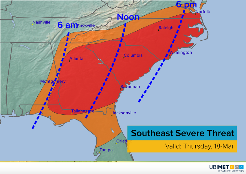
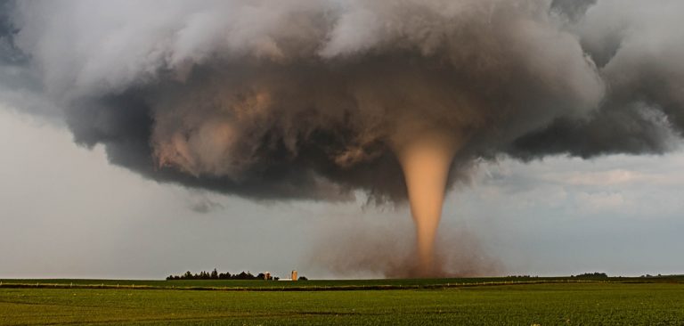
More severe storms are likely for Georgia and the Carolinas on Thursday. Destructive winds will be a widespread concern. Large hail and isolated tornadoes will also occur with the stronger cells. A squall line will rip across the region during the day as depicted by the blue dashed time lines in the graphic above. Other, isolated supercells will pose a threat for winds, hail and tornadoes ahead of the squall line, especially over eastern North Carolina. Residents of this region should be ready to move to shelter as soon as emergency alerts are issued for their location. Lead photo courtesy Brad Goddard, National Weather Service.
