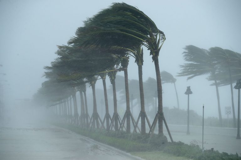
Hurricane Ida Heads Towards Louisiana With New Orleans In Its Crosshairs!

On the eve of the 16th anniversary of Hurricane Katrina, Hurricane Ida is churning in the Gulf of Mexico with its eye set on Louisiana. Ida, now a Category 2 storm with winds of 105 mph (169 kph) is forecasted to rapidly strengthen overnight into a dangerous Category 4 storm with winds of 130 mph (209 kph) before pummelling the coast of Louisiana on Sunday afternoon. Ida will be the fourth hurricane to strike the state within a year. The state is still recovering from the devastating effects of Hurricanes Laura, Delta, and Zeta of 2020.
This is a developing, dangerous, catastrophic #ida in the making. pic.twitter.com/ShE7pdglth
— Jim Cantore (@JimCantore) August 29, 2021
Louisiana is no stranger to hurricanes, but with so many hurricanes effecting the state back to back, many residents are experiencing hurricane fatigue. These residents have been scrambling to prepare for the storm throughout the day on Saturday, with many of them ordered to evacuate. Roads were snarled with traffic as a mass exodus out of New Orleans ensued.
Please keep the people of Louisiana and those all along the Gulf Coast in your thoughts.
Hurricane Ida, now a category 2 storm, is closing in on the coast and is expected to make landfall as a powerful category 4 storm on Sunday, the same day Hurricane Katrina hit 16 years ago. pic.twitter.com/5EFQjk0NT7
— WFAA (@wfaa) August 28, 2021
Although landfall is expected to occur to the southwest of New Orleans, the city is bracing for devastating impacts, since the effects of Ida will extend well inland. Ida is likely to be the strongest storm to directly impact the city since Hurricane Katrina devastatingly flooded it in 2005. In the years post Katrina, billions of dollars have been spent on repairing infrastructure and upgrading the city’s levee system, which failed epically during that storm. A true test of the new system will be underway tomorrow once Ida bares down.
The @SLFPAE is closing flood gates in the federal levee system to prevent storm surge in #NewOrleans ahead of #Ida. That includes the Lake Borgne Surge Barrier, which can be seen from space and is the largest design-build civil works project in the history of the Army Corps. pic.twitter.com/pbS9iGHeeF
— NOLA Ready (@nolaready) August 28, 2021
The aforementioned damaging winds, will be accompanied by other extreme hazards, such as torrential rain and catastrophic storm surge. Rainfall from Ida is forecasted to range from 8-16 inches (203-406 mm) across most of eastern Louisiana, then spreading into Mississippi by Monday. A storm surge of up to 15 feet (4.5 m) is expected to occur from Morgan City, Louisiana all the way to the mouth of the Mississippi River. Before departing Cuba, Ida drenched western parts of the island with up to 5 inches of rain (127 mm).
Ahead of #Ida, Saturday night in New Orleans looks much different than usual.
We urge residents to listen to the guidance of local officials as #Ida moves closer to the coast. pic.twitter.com/3mCQ9dJIsa
— The Weather Channel (@weatherchannel) August 29, 2021
